GPS and satellite navigation (GNSS)
Timing signals from satellites give anyone free global position, navigation and time, now embedded in phones, networks, finance and logistics.
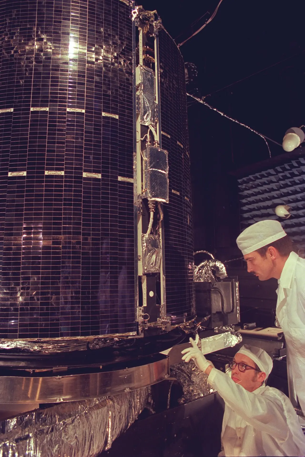
- 1978
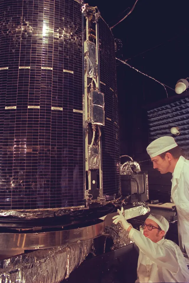
First version
US Department of Defense (Bradford Parkinson, Ivan Getting, Roger Easton and others)
Image: US Air Force · Public domain · Wikimedia Commons - 1995
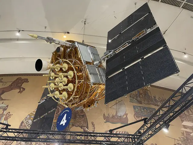
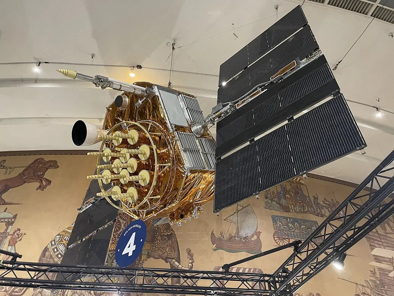
Full operational capability
24-satellite constellation declared fully operational.
Image: Blervis · CC0 · Wikimedia Commons - 2000
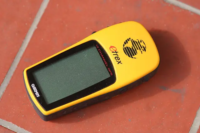
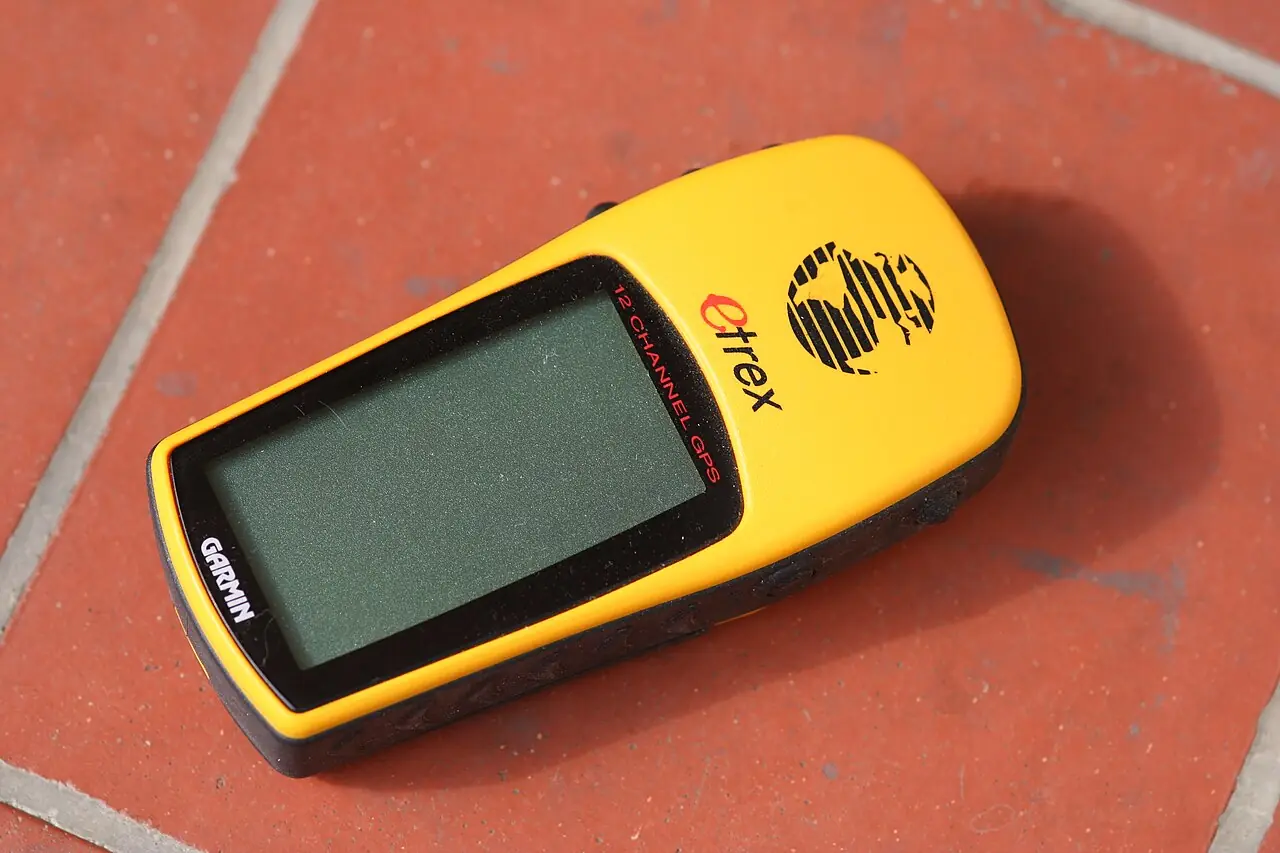
Selective Availability off
Deliberate civil degradation ended, enabling metre-level consumer navigation.
Image: Andy / Andrew Fogg from near Cambridge, UK · CC BY 2.0 · Wikimedia Commons - 2016
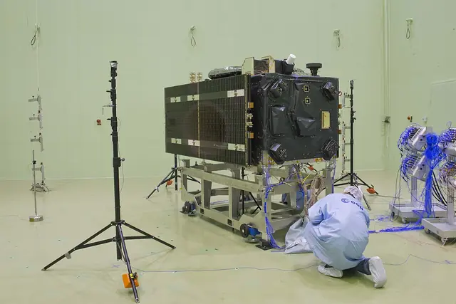
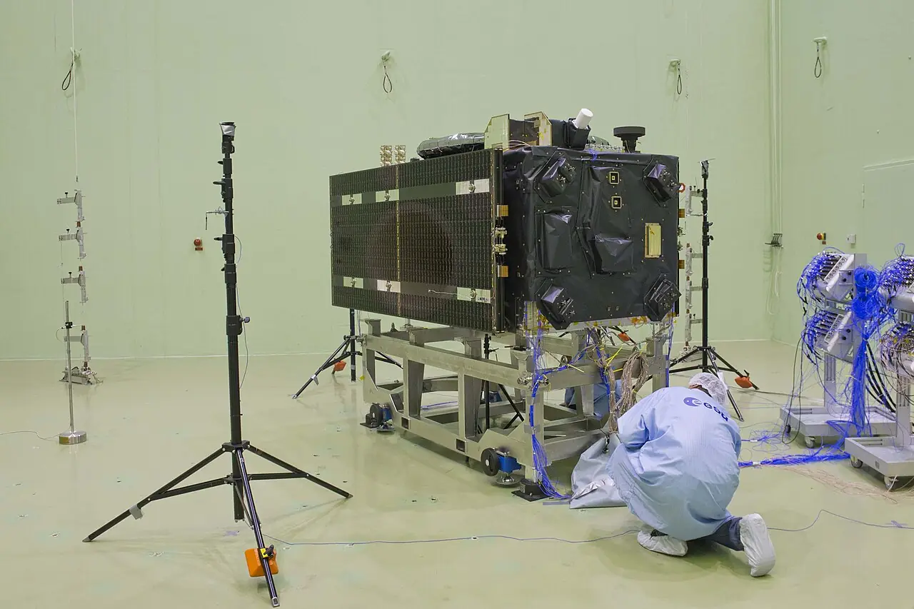
Multi-GNSS era
Galileo initial services begin in December 2016; with GLONASS restored and BeiDou-3 going global in 2020, receivers track four constellations.
Image: European Space Agency · CC BY-SA 3.0 igo · Wikimedia Commons


Contested: Credit is shared among Parkinson, Getting and Easton; Navy Timation and Air Force 621B programmes both fed GPS.